Arizona - Introduction
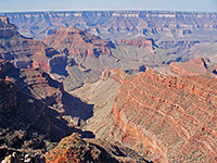
ARIZONA is everything the Southwest is supposed to be - the state contains canyons, deserts, cacti, mountains, ghost towns, Indian tribes and abundant sunshine. Most famous of all there is the Grand Canyon, destination for millions of visitors each year, but there are also hundreds of miles of scenic land with many other canyons large and small waiting to be explored. Several artificial lakes, formed by dams on the Salt and Colorado rivers, provide many recreational opportunities and a welcome relief from the summer heat.
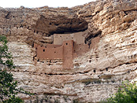
One quarter of the land is occupied by Indian reservations - the largest percentage of any state; amongst the tribes, the Navajo, Apache and Hopi all occupy extensive areas where traditional life continues largely unaffected by mainstream US culture. There are also traces of more ancient civilisations - many ruins from the Anasazi period around the twelfth century are preserved as National Monuments; the most interesting include Montezuma Castle, Walnut Canyon and Wupatki.
The capital of Arizona is Phoenix, the eighth largest and fastest growing city in the US, and also probably the hottest major town in the world - as a result of the desert location and low elevation the temperature regularly exceeds 110°F and once reached 122°. The city and its extensive suburbs are known collectively as the Valley of the Sun and are very popular as a warm winter resort and a retirement center. 110 miles southeast, the other main town is Tucson which is more compact and slightly cooler than Phoenix, and has an attractive location on a wide, cacti-filled plain enclosed on most sides by rocky mountain ranges.
The northeast of Arizona is high desert country, part of the Colorado Plateau, a vast uplifted area of multi-colored layered rocks extending into New Mexico, Utah and Colorado. The largest Indian reservations are found here, belonging to the Navajo and Hopi peoples, and although much of this land is rather barren and not especially scenic, there are several notable destinations such as Canyon de Chelly, the Petrified Forest and the Painted Desert.
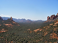
South of here the land becomes more mountainous, rising to over 7,000 feet at the Mogollon Plateau, part of a high forested area that provides skiing opportunities in the winter and respite from the desert sun during summer. The Plateau ends abruptly and spectacularly at the Mogollon Rim with a steep drop of up to 2000 feet - to the south, the land becomes gradually hotter, lower and more desert-like. South of Flagstaff, the town of Sedona has become the second most popular tourist destination in the state.
Much of the south and west of the state is empty desert with scattered cacti, in particular the distinctive saguaro. Driving for hundreds of miles along either of the two main cross-country routes I-10 and I-8 is a memorable but relentless desert experience. Despite the apparent barrenness, most of the land is used or protected, either as Indian reservations, US Army ranges or National Wildlife refuges. Along the Colorado river, there are several towns increasing in population due to their warm winter climate, including Lake Havasu City, the new location of Old London Bridge. Southwest Arizona is part of the Sonoran Desert that extends into California and Mexico, and is characterised by high temperatures and infrequent rainfall, but with a surprisingly diverse range of wildlife.
The southeast lies in the Chihuahuan Desert which also extends across south New Mexico and far west Texas; there are wooded mountain ridges separated by wide valleys, with many old mines, ghost towns and other historic sites. Here, the wild west lives on in old settlements such as Tombstone and Bisbee, and there is a strong Mexican influence around the border region to the south.
All Contents © Copyright The American Southwest | Comments and Questions | Contribute | Affiliate Marketing Disclosure | Site Map


