Texas National Parks and Natural Landscapes
Table of Contents for Texas
- National Park Service units in Texas
- Other scenic landscapes in Texas
- Hiking in Texas
- Texas hotels
- Texas itineraries
- Plants of Texas; cacti and wildflowers
- Other Texas resources
| ★★★★★ ALIBATES FLINT QUARRIES National Monument - isolated site north of Amarillo preserving ancient flint quarries |
| ★★★★★ AMISTAD National Recreation Area - artificial lake on the Rio Grande near Del Rio, with many branched side canyons |
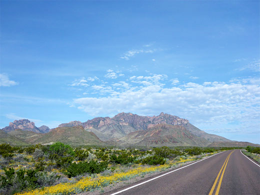
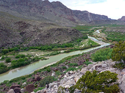
| ★★★★★ BIG BEND National Park - huge desert, canyon and mountain wilderness alongside the Rio Grande |
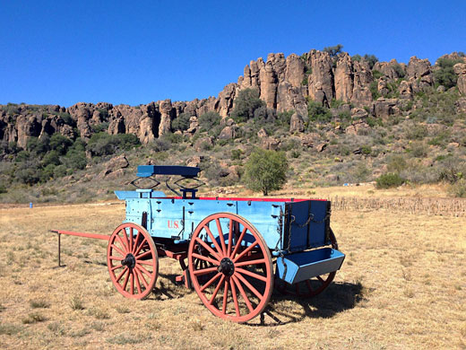
| ★★★★★ FORT DAVIS National Historic Site - well preserved military outpost |
| ★★★★★ GUADALUPE MOUNTAINS National Park - isolated mountain range with diverse climate zones, surrounded by the Chihuahuan Desert |
| ★★★★★ LAKE MEREDITH National Recreation Area - lake in the high plains north of Amarillo, formed by a dam across the Canadian River |
| ★★★★★ PADRE ISLAND National Seashore - 80 miles of undeveloped beach beside the Gulf of Mexico, near Corpus Christi |
| ★★★★★ SAN ANTONIO MISSIONS National Historical Park - five Spanish churches dating from 1718, linked by an historic trail |
| ★★★★★ BIG BEND RANCH State Park - rugged wilderness area west of Big Bend |
| ★★★★★ BLACK GAP Wildlife Management Area - large expanse of the Chihuahuan desert east of Big Bend |
| ★★★★★ CAPROCK CANYONS State Park - eroded red rock buttes and gorges at the edge of the High Plains |
| ★★★★★ DAVIS MOUNTAINS State Park - scenic hills rising above the Chihuahuan Desert |
| ★★★★★ DINOSAUR VALLEY State Park - fossilized dinosaur footprints, plus pleasant river scenery |
| ★★★★★ ENCHANTED ROCK State Natural Area - large granite monolith in the Texas Hill Country |
| ★★★★★ FORT LEATON State Historic Site - adobe fort, built 1848, near the Rio Grande in Big Bend country |
| ★★★★★ FRANKLIN MOUNTAINS State Park - unspoilt Chihuahuan Desert range within El Paso city limits |
| ★★★★★ HUECO TANKS State Park and Historic Site - granite outcrop with many pictographs, also popular for rock climbing |
| ★★★★★ LANGTRY - isolated village with a historic past, beside the Rio Grande |
| ★★★★★ LOST MAPLES State Natural Area - steep limestone canyons and unusual trees |
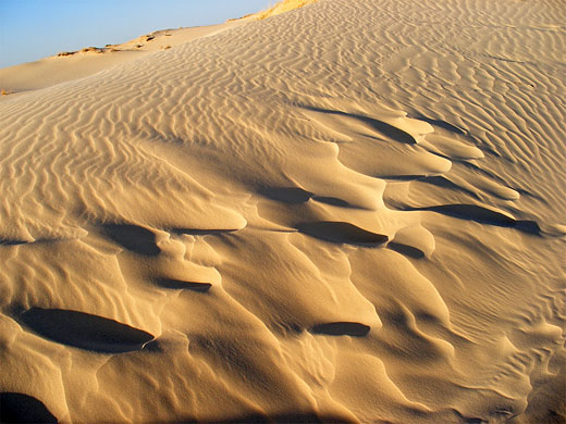
| ★★★★★ MONAHANS SANDHILLS State Park - active dunefield next to I-20, near Odessa |
| ★★★★★ ODESSA METEOR CRATER - 600 foot diameter impact crater, now mostly filled in |
| ★★★★★ PALMETTO State Park - swampy environment with exotic plants and wildlife |
| ★★★★★ PALO DURO CANYON State Park - the largest canyon system in Texas |
| ★★★★★ PEDERNALES FALLS State Park - wide waterfall along a clear river in a limestone canyon |
Trails in west Texas (33 routes)
The most popular hiking areas in west Texas are Big Bend National Park and the Guadalupe Mountains.
Texas Trail Search
The most popular hiking areas in west Texas are Big Bend National Park and the Guadalupe Mountains.
Texas Trail Search
Choose from over 2,800 Texas hotels in 356 towns & cities (west, east), including national park hotels and interstate hotels
Locations include: Abilene, Amarillo, Austin, Corpus Christi, Dallas, El Paso, Fort Worth, Fredericksburg, Houston, Laredo, Lubbock, Midland, Odessa, San Antonio
Locations include: Abilene, Amarillo, Austin, Corpus Christi, Dallas, El Paso, Fort Worth, Fredericksburg, Houston, Laredo, Lubbock, Midland, Odessa, San Antonio
Texas Travel Itineraries
 |
Plants of Texas
 |
 |
Other Texas Resources
Driving Distances - mileages between selected places in Texas
Introduction - summary of Texas's scenic areas
Maps - Texas state map and national park maps
Weather - forecasts for Texas towns, cities and parks
Texas Photographs - indexed by location
Panoramic Photographs - wide landscape photos of Texas
| Photograph Search - |
All Contents © Copyright The American Southwest | Comments and Questions | Contribute | Affiliate Marketing Disclosure | Site Map


