Mummy Spring
Small spring in a sheltered, northeast-facing ravine, sustaining a selection of riparian wildflowers, reached by a 0.3 mile spur off the North Loop Trail, which ascends steadily along a broad ridge with many bristlecone pines, offering good, long-distance views
Length: 3 miles
Elevation change: 1,400 feet
Difficulty: Moderate; steep in places
Type: One-way
Usage: Medium
Season: Spring, summer, fall
Trailhead: Parking area along Hwy 158, near Hilltop Campground
Rating (1-5): ★★★★★
Elevation change: 1,400 feet
Difficulty: Moderate; steep in places
Type: One-way
Usage: Medium
Season: Spring, summer, fall
Trailhead: Parking area along Hwy 158, near Hilltop Campground
Rating (1-5): ★★★★★
Mummy Spring is a small though year-round water source in a steep, sheltered, northeast-facing ravine below Mummy Mountain, a subsidiary peak of Mount Charleston. For most of the year the water soon seeps below ground though in wetter times the drainage flows down the mountain and joins the larger Deer Creek, also spring-fed. The surroundings are not especially scenic but enlivened, in spring and summer, by a profusion of riparian wildflowers including columbine, shooting star and at least two species of bog orchid (platanthera dilatata and either platanthera sparsiflora or platanthera tescamnis), and even though the surrounding slopes are generally dry, covered by pine trees, they too have a varied wildflower selection.
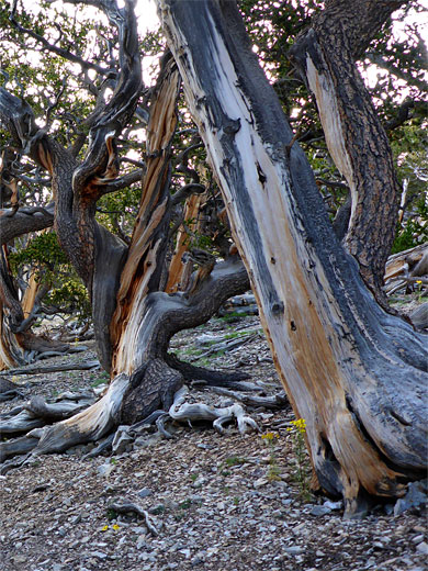
The spring is reached by a 0.3 mile spur off the North Loop Trail, the junction being 2.7 miles from the start along Hwy 158 near Hilltop Campground. The spur is nearly level while the main trail is rather steep, climbing steadily up a broad, sparsely wooded ridge where trees include several groves of bristlecone pines, with their characteristic richly-colored bark and strangely twisted branches. Many places offer grand views east, over Las Vegas Valley to the distant peaks of the Sheep Range, so the hike offers a good variety of views, landscapes and flora, making it one of the best in the Mount Charleston area.
The North Loop Trail is served by a prominent parking area along Hwy 158, a quarter of a mile north of the turn-off for Hilltop Campground, with more parking a short distance south at another pullout. This trail is a long (11 mile) route all the way to the summit of Mount Charleston, not actually a loop though with one other connector about halfway (the Trail Canyon Trail), and linking at the summit with the South Loop Trail. The spur to Mummy Spring leaves at 2.7 miles, just opposite the Raintree, a particularly large, 3,000 year-old bristlecone pine, thought to be the most ancient tree anywhere in the Spring Mountains. The junction is a popular location for primitive camping.
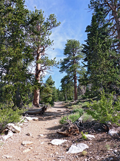
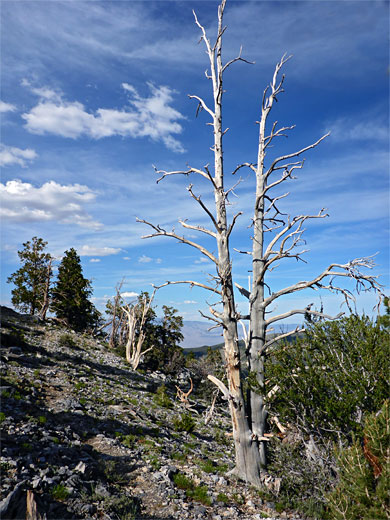
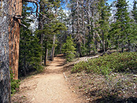
The generally wide and well-used path starts out close to the road and soon turns away along a little ridge, below a knoll and past a sign marking the edge of the Mount Charleston Wilderness Area. The trees are relatively large, and close together, becoming more spaced out after a while, still offering only limited views. The gradient increases up to a more open area with jagged limestone outcrops preceding a stony, mostly treeless ridge and then several groups of big, isolated bristlecone pines, some dead but most healthy and flourishing. The dry-looking surroundings are sprinkled with many small flowers, most conspicuous the yellow lavender-leaf sundrop.
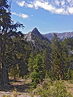
The trail returns to thick woodland and rises more steeply via many short switchbacks, ending with a longer straight, up to a larger mound topped by limestone formations, the first of three such peaks along an otherwise flat ridge that extends half a mile to the Raintree beside the trail junction. This location, known as Highpoint Ridge, has many more bristlecone pines, extravagantly bent and contorted, while the ground harbors a different selection of wildflowers including smoothleaf penstemon and Arizona skyrocket. A slight descent takes the path to the junction, below steep slopes at the south end of Mummy Mountain, a place with good views both north and south.
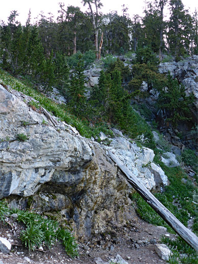
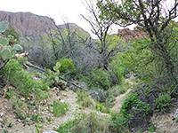
The signed spur trail to Mummy Spring heads northwest, descending very gradually through quite thick ponderosa pine woodland, and round a corner to the vicinity of the spring, located about 50 feet higher, above a low cliff. Vegetation downcanyon is dominated by a large colony of Eaton's thistle, while the other plants are concentrated around the edge of pools and seeps below a small waterfall, an elongated feature across the low cliff. As the canyon is so sheltered, receiving only limited sunlight, the water is often frozen for four or more months of the year in winter. Although the trail ends at the waterfall, an unofficial route does continue, up the steep, overgrown ravine above the spring to the base of the cliffs of Mummy Mountain, where it contours north to another ravine and climbs this to the flat-topped summit - only a mile in distance, but gaining another 1,660 feet.

The spring is reached by a 0.3 mile spur off the North Loop Trail, the junction being 2.7 miles from the start along Hwy 158 near Hilltop Campground. The spur is nearly level while the main trail is rather steep, climbing steadily up a broad, sparsely wooded ridge where trees include several groves of bristlecone pines, with their characteristic richly-colored bark and strangely twisted branches. Many places offer grand views east, over Las Vegas Valley to the distant peaks of the Sheep Range, so the hike offers a good variety of views, landscapes and flora, making it one of the best in the Mount Charleston area.
Mummy Spring Trailhead
The North Loop Trail is served by a prominent parking area along Hwy 158, a quarter of a mile north of the turn-off for Hilltop Campground, with more parking a short distance south at another pullout. This trail is a long (11 mile) route all the way to the summit of Mount Charleston, not actually a loop though with one other connector about halfway (the Trail Canyon Trail), and linking at the summit with the South Loop Trail. The spur to Mummy Spring leaves at 2.7 miles, just opposite the Raintree, a particularly large, 3,000 year-old bristlecone pine, thought to be the most ancient tree anywhere in the Spring Mountains. The junction is a popular location for primitive camping.
Start of the Path
The generally wide and well-used path starts out close to the road and soon turns away along a little ridge, below a knoll and past a sign marking the edge of the Mount Charleston Wilderness Area. The trees are relatively large, and close together, becoming more spaced out after a while, still offering only limited views. The gradient increases up to a more open area with jagged limestone outcrops preceding a stony, mostly treeless ridge and then several groups of big, isolated bristlecone pines, some dead but most healthy and flourishing. The dry-looking surroundings are sprinkled with many small flowers, most conspicuous the yellow lavender-leaf sundrop.
Trail to the Raintree Junction
The trail returns to thick woodland and rises more steeply via many short switchbacks, ending with a longer straight, up to a larger mound topped by limestone formations, the first of three such peaks along an otherwise flat ridge that extends half a mile to the Raintree beside the trail junction. This location, known as Highpoint Ridge, has many more bristlecone pines, extravagantly bent and contorted, while the ground harbors a different selection of wildflowers including smoothleaf penstemon and Arizona skyrocket. A slight descent takes the path to the junction, below steep slopes at the south end of Mummy Mountain, a place with good views both north and south.
Spur Trail to the Spring
The signed spur trail to Mummy Spring heads northwest, descending very gradually through quite thick ponderosa pine woodland, and round a corner to the vicinity of the spring, located about 50 feet higher, above a low cliff. Vegetation downcanyon is dominated by a large colony of Eaton's thistle, while the other plants are concentrated around the edge of pools and seeps below a small waterfall, an elongated feature across the low cliff. As the canyon is so sheltered, receiving only limited sunlight, the water is often frozen for four or more months of the year in winter. Although the trail ends at the waterfall, an unofficial route does continue, up the steep, overgrown ravine above the spring to the base of the cliffs of Mummy Mountain, where it contours north to another ravine and climbs this to the flat-topped summit - only a mile in distance, but gaining another 1,660 feet.
Topographic Map

Mummy Spring Trail - Similar Hikes
All Contents © Copyright The American Southwest | Comments and Questions | Contribute | Affiliate Marketing Disclosure | Site Map


