Highlights:
Long, scenic route heading north through the middle of Zion National Park, climbing steadily to Lava Point, a forested viewpoint at 7,890 feet. Along the way are overlooks and trailheads, for such popular destinations as the Subway and the West Rim
Location:
37.233, -112.875 (east entrance)
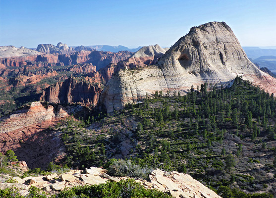
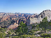
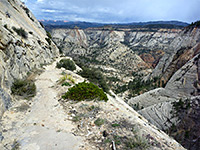
Kolob Reservoir Road, also known as Kolob Terrace Road, is the least travelled of the main roads through Zion National Park, and provides an easy way to quickly reach the wilderness and escape the crowds that can affect the more well known areas. It offers great views of distant cliffs and valleys, hiking trails to high overlooks and along narrow canyons, and varied landscapes reflecting the wide elevation range of 3,550 to 7,890 feet. The road passes close to Lava Point, the highest summit in the park except for two peaks in the far northwest region, and affords exceptional, near 360° views of the whole park.
Kolob Reservoir Table of Contents
Photographs
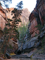
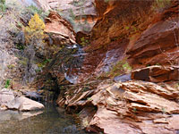
14 genral views of the Kolob Reservoir area.
Start of the Road
The road, not obviously signposted, begins at the small town of Virgin on UT 9, 22 miles before the main south entrance to the park and follows North Creek, another tributary of the Virgin River. The start of the route is along a lush valley with plenty of green woodland and well-watered farm pasture, quite a contrast to the faded reddish cliffs at either side, then after a drive of 10 minutes the road begins to climb quite steeply and at one point traverses a narrow ridge with good views all around. There is a fine area for camping on the southeast side of the road shortly before the National Park Boundary - a rough network of sandy tracks winding between trees and cacti, offering many sheltered stopping places.
North Creek
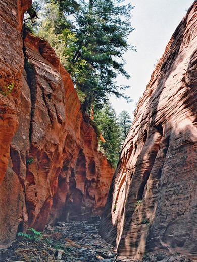
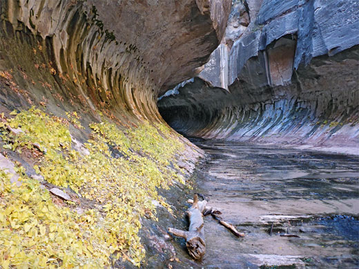
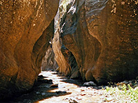
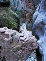
There is no entrance station to the park, just an NPS sign, but 1.75 miles inside the boundary, a lay-by on the east side marks the starting point for one of the most famous trails in Zion - the route along the Left Fork of North Creek, also known as Great West Canyon. This flows through a wild canyon that becomes more narrow and scenic upstream, culminating in 'The Subway', where the creek becomes enclosed in a circular passage, almost like a tunnel. Shortly before the trailhead is the much smaller parking place for hikes up the Right Fork, almost as scenic.
Kolob Reservoir High Country
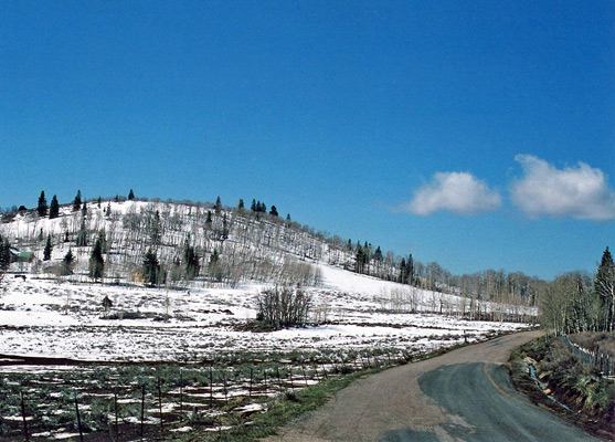
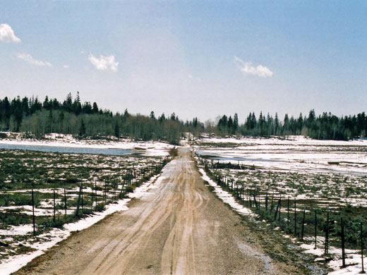
The Kolob Reservoir Road passes outside the park again for a while, crossing the Lower Kolob Plateau which is used for cattle grazing and horse meetings, and indeed much of the traffic to this point is for livestock transportation. The road re-enters Zion National Park following a sharp turn east and ascends even more steeply, through alternating meadows and woodland, all very pretty and with frequent glimpses of remote mountains and canyons. A few miles back inside the park, after passing a pair of ancient cinder cones on either side (Firepit Knoll and Spendlove Knoll), the road crosses Pine Spring Wash, which upstream flows over open land for a while then emerges from the end of a narrow ravine - Pole Canyon. There is no trail here but it is easy enough to walk beside the creekbed, across slickrock slopes then into the canyon, which becomes respectably deep and enclosed, and eventually, a proper slot. Past the wash, and after another steep ascent, the road becomes narrower and flattens out at around 7,000 feet, by which point the landscape is very different from the desert-like conditions of the Virgin River valley at the start - thick pine forests with wide clearings and shallow ponds, fed by melting snow which may not clear completely until June.
Zion Tours
Explore the national park; Kolob Canyons or Zion Canyon.
Lava Point
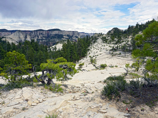
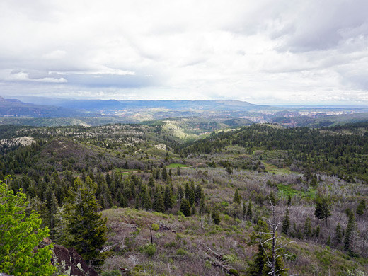
A gravel side road beside Blue Springs Reservoir follows a forested ridge formed by an ancient lava flow and ends at 7,890 foot Lava Point. All of the park to the north, east and south is spread out beneath, and the huge domes of Zion Canyon itself are clearly visible, 10 miles away to the southeast. Shortly before the point, a rougher track leads to the Wildcat Trailhead from which various cross country routes begin, including the hike to the deep and watery slot canyon of Kolob Creek.
Kolob Reservoir
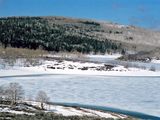
Beyond the Lava Point turn-off, the land becomes relatively well developed, with many ranches, houses and log cabins dotted amongst the fir trees, many used only as summer homes. These continue about as far as Kolob Reservoir, at 8,118 feet, where the road is now unpaved, yet continues for many miles through the upper Kolob Plateau, eventually meeting other routes that lead towards Cedar City. The reservoir has many good places for camping right at the waters edge, and is also good for fishing. It is especially scenic in winter, when frozen and surrounded by snow covered slopes and forests of aspen.
Trails along Kolob Reservoir Road
All paths in the area.
Kolob Creek
★★★★★
★★★★★
2.6 miles, 1800 feet
Major tributary of the Virgin River, flowing through a deep, long slot canyonNorth Creek, Left Fork
★★★★★
★★★★★
3.4 miles, 1200 feet
Popular, oft-visited narrow canyon that includes The Subway, where the creek flows through a long, tubular passage with only a narrow opening aboveNorth Creek, Right Fork
★★★★★
★★★★★
5.8 miles, 900 feet
Lengthy drainage that narrows gradually to a deep, enclosed section with many waterfalls, pools and bouldersNorthgate Peaks Trail
★★★★★
★★★★★
2 miles, 100 feet
Path across flat, partly wooded land to a viewpoint between two rounded peaks. The summits are reachable by unofficial continuation trailsPole Canyon
★★★★★
★★★★★
2 miles, 800 feet
Partly wooded ravine on the Kolob Plateau, formed by the seasonal Pine Spring Wash; narrowing gradually to a half-mile section of confined passageways through dark-colored sandstoneWest Rim Trail
★★★★★
★★★★★
14.5 miles, 3600 feet
Longest trail in the national park, linking Lava Point with the floor of Zion CanyonAll Contents © Copyright The American Southwest | Comments and Questions | Contribute | Affiliate Marketing Disclosure | Site Map
