Highlights:
Huge sandstone cliffs and narrow, sheer-walled canyons, perhaps the most spectacular scenery in Utah. Visitation is concentrated in Zion Canyon; away from here are large areas of high elevation backcountry, reached by long trails. The other main regions are the Southeast, Kolob Canyons and Kolob Reservoir Road
Nearby town:
Springdale, 1 mile
Management:
Location:
37.200, -112.986 (visitor center)
Seasons:
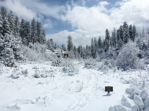
All year. The higher areas are covered by snow in winter. Most narrow canyons are accessible from spring to fall
Rating (1-5):
★★★★★
Weather:
Zion NP is part of the Grand Canyon and Grand Circle itineraries
Featured Hotel
Quality Inn Springdale at Zion Park
 The closest hotel to the main entrance of Zion National Park, on the north edge of Springdale, with fine views of the sheer cliffs of Watchman Mountain
Check Rates
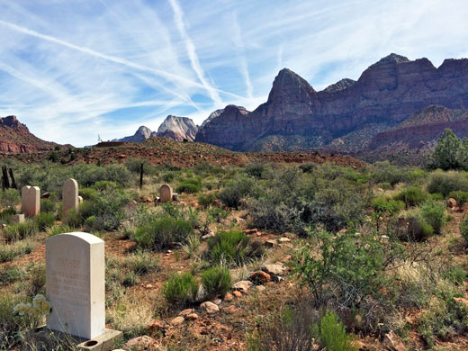
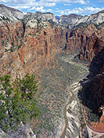
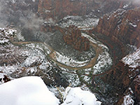
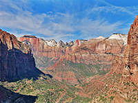
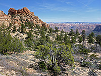
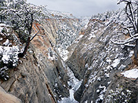
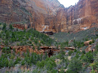
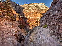
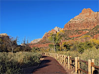
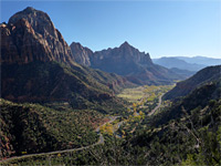
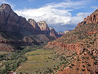
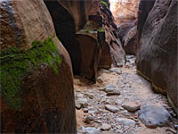
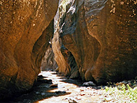
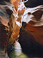
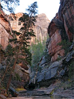
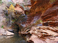
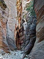
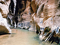
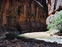
Zion National Park encompasses some 150,000 acres of wild canyon country east of St. George, Utah, including the narrow, multicolored Kolob Canyons to the north and many miles of largely impenetrable mountain wilderness. However, the vast majority of visitors come only to see Zion Canyon, probably the most immediately spectacular of the many geological wonders in Utah, where sheer red and white sandstone cliffs tower up to 2,500 feet above the North Fork of the Virgin River, and gradually become closer together upstream until only 30 feet apart in places.
Here are found most of the visitor facilities, the grandest viewpoints and many hiking paths, ranging from extended backcountry trails to easy 10 minute strolls to places of interest. Zion offers probably the best, most varied hiking of all national parks, including the famous Narrows Trail along the upper stretches of the Virgin River. There are many other scenic side canyons that invite exploration.
Here are found most of the visitor facilities, the grandest viewpoints and many hiking paths, ranging from extended backcountry trails to easy 10 minute strolls to places of interest. Zion offers probably the best, most varied hiking of all national parks, including the famous Narrows Trail along the upper stretches of the Virgin River. There are many other scenic side canyons that invite exploration.
Zion Table of Contents
- Zion maps
- Photographs
- Introduction
- Tours of Zion Canyon
- Overcrowding
- Regions of the park
- Zion trails
- Zion slot canyons
- Zion wildflowers
- Hotels near the park
Zion Maps
Zion National Park, Zion Canyon (overview), Zion Canyon (topo).
Photographs
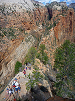
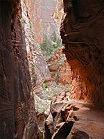
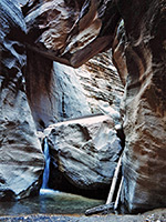
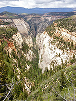
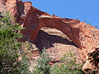
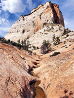
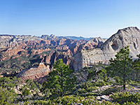
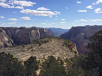
Zion Canyon, Observation Point and vicinity, the Southeast, Kolob Reservoir area, wildflowers
All Zion National Park photographs.
Zion Weather
Local weather and climate.
Introduction
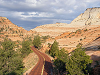
The main canyon in Zion is reached by a turning off state highway 9; the through road continues east via a dramatic tunnel into more open land en route to Mount Carmel Junction and onwards to Bryce Canyon National Park. There are few official trails in the southeast section of the park but all the land is scenic. The rock formations are subtly different; more varied and on a more intimate scale.
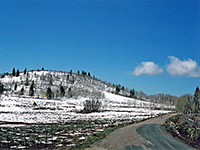
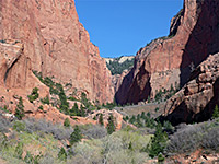
The Kolob Canyons of the northwest have a separate visitor center and a short scenic drive leading to a high viewpoint, unlike that in Zion Canyon which follows the river along the valley floor. This region is equally spectacular, on a slightly smaller scale. Again there are good hiking opportunities, and the region is much more tranquil and less-visited. Even less well known is the high country along the Kolob Reservoir Road, a land of forests, meadows, cliffs and more narrow ravines.
Zion Canyon Tours
Explore the national park, by tour bus and hiking.
Overcrowding
As with other Southwest national parks including Yosemite and the Grand Canyon, overcrowding is becoming a serious problem in Zion Canyon - the general solution is to reduce the traffic by closing some roads to private vehicles and using shuttle bus services to transport visitors. Even so, in all these parks it is only a tiny section that is usually visited and always there are vast areas of wilderness that may be explored in peace. The year 2000 saw introduction of such measures to Zion National Park and visitors now use free shuttle buses, starting from the town of Springdale or the main visitor center, where extra parking has been constructed.
Zion Fees
Entry for Zion National Park costs $35 per vehicle and $20 per person (pedestrians, bicyclists, motorcyclists, etc) in 2024; these are the highest NPS fees, the same as other top locations like Yellowstone and the Grand Canyon.
Regions of Zion National Park
The destination for most visitors, viewed along a ten mile scenic drive that passes towering red and white cliffs, and culminates in the Zion Narrows
Atmospheric 'ghost town', a historic Mormon settlement just south of the park, bordering the Virgin River near Rockville along Hwy 9
The southeast section of the park, separated from Zion Canyon by a long road tunnel; colorful slickrock and several easily-accessed narrow canyons
The little-visited northwest corner of the park, with more high red cliffs and narrow ravines. A five mile scenic drive leads to several overlooks and trailheads
Long scenic route through the middle of the park leading to Lava Point, a forested viewpoint at 7,890 feet
Hiking in Zion National Park
Zion has a good network of maintained trails, both long and short, and also many recognized routes along narrow canyons; some of these require ropes and technical expertise, but many can be seen, at least in part, by regular hiking. Featured trails are listed below.
Featured Zion Trails
Angels Landing Trail
★★★★★
★★★★★
2.5 miles, 1500 feet
One of the most spectacular trails in any national park, the route to 5,785 foot Angels Landing climbs steeply up the cliffs on the west side of Zion Canyon for a panoramic view over the surrounding landscapeCable Mountain
★★★★★
★★★★★
8.4 miles, 1200 feet
Remote viewpoint on the east rim of Zion Canyon, reached by a long hike, initially around several scenic canyons, then over partly wooded plateausCanyon Overlook Trail
★★★★★
★★★★★
0.5 miles, 160 feet
This easy, popular path - the only official trail in the southeast section of Zion NP, along UT 9 - offers hikers a grand view down the deep valley of Pine CreekChinle Trail
★★★★★
★★★★★
8 miles, 650 feet
Path across two drainages, past pieces of petrified wood, ending beside a permanent streamCoalpits Wash
★★★★★
★★★★★
8 miles, 1000 feet
Long drainage though low-elevation terrain in the southwest corner of the park, eventually narrowing and forming some pools and cascadesCrawford Wash
★★★★★
★★★★★
2.9 miles, 990 feet
Short, scenic, north-side tributary of Paunuweap Canyon, moderately enclosed in its lower reaches. Accessed by an off-trail hike from Hwy 9Deertrap Mountain
★★★★★
★★★★★
5.5 miles, 400 feet
Little traveled hike across a sparsely wooded plateau, round the heads of several ravines, to a isolated, elongated mountainEagle Crags and Lower Mountain
★★★★★
★★★★★
5 miles, 1,800 feet
Just outside the park; a maintained trail to a viewpoint below a group of pinnacles, then a strenuous continuation route up to a remote, partly wooded plateauEast Rim Trail
★★★★★
★★★★★
10.5 miles, 2,600 feet
Varied route between the east Zion entrance along Hwy 9, and Weeping Rock beside the Virgin River, through several canyons and across an extensive, wooded plateauEmerald Pools Trail
★★★★★
★★★★★
1.5 miles, 350 feet
Another of the more popular paths in Zion Canyon is the route to the upper, middle and lower Emerald Pools - three pretty ponds beneath sheer sandstone cliffsHidden Canyon Trail
★★★★★
★★★★★
1.1 miles, 800 feet
The lower end of the cool, shady narrows of Hidden Canyon may be reached by a short though quite strenuous trail, part of which involves a traverse of a sheer cliff face with the aid of chainsLa Verkin Creek Trail to Kolob Arch
★★★★★
★★★★★
6.7 miles, 1000 feet
Long route alongside a permanent stream, over a saddle and up a larger, deeper canyon beneath tall red cliffs, then into an overgrown tributary ravine to the base of a huge sandstone arch Many Pools Canyon
★★★★★
★★★★★
0.9 miles, 550 feet
Short, open, moderately steep drainage across colorful slickrock; forms many potholes, retaining water for a long time after rainfall. 500 feet west is a similar drainage, more enclosed, with a slot section near its lower endNorthgate Peaks Trail
★★★★★
★★★★★
2 miles, 100 feet
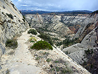
Path across flat, partly wooded land to a viewpoint between two rounded peaks. The summits are reachable by unofficial continuation trailsObservation Point
★★★★★
★★★★★
10 miles, 2600 feet
The route to Observation Point is a candidate for the best hiking path in Zion National Park, passing varied scenery of high mountains, narrow canyons, forests and meadowsParus Trail
★★★★★
★★★★★
1.7 miles, 40 feet
Paved path alongside the Virgin River, through grassy meadows with cottonwoods, bushes and yucca, surrounded by the high red cliffs of the canyonSand Bench Trail
★★★★★
★★★★★
4.6 miles (round trip), 500 feet
Loop around a partly bushy, partly open plateau beneath The Sentinel on the west side of the Virgin River, offering impressive views of the surrounding cliffsTaylor Creek, Middle Fork
★★★★★
★★★★★
3.1 miles, 700 feet
Most enclosed of the Finger Canyons of the Kolob; a narrowing, vegetation-filled valley containing a small stream, eventually becoming sheer sided, though gaining height steeply via boulders and fallsTaylor Creek, South Fork
★★★★★
★★★★★
1 miles, 200 feet
Path along the floor of a narrowing, riparian canyon containing much vegetation and a variety of wildlifeWatchman Trail
★★★★★
★★★★★
1.4 miles, 450 feet
From the Zion Canyon Visitor Center near Watchman Campground, this path climbs into a small ravine then bends back westwards to a promontory overlooking the Virgin River valleyWeeping Rock Trail
★★★★★
★★★★★
0.25 miles, 60 feet
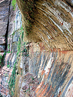
Weeping Rock is one of Zion's most photographed places - a curved cliff face that continually seeps water at the junction of two sandstone strata (the Kayenta and Navajo layers), sustaining a curtain of ferns, moss and wildflowersWest Rim Trail
★★★★★
★★★★★
14.5 miles, 3600 feet
Longest trail in the national park, linking Lava Point with the floor of Zion CanyonSlot Canyons of Zion National Park
Beartrap Canyon
★★★★★
★★★★★
8.8 miles, 1000 feet
Short but very pretty narrows leading to a waterfall; a remote tributary of La Verkin CreekClear Creek
★★★★★
★★★★★
0.5 miles, 50 feet
Long drainage on the east side of the park, running close to UT 9; not generally very enclosed, but forming good, short stretches of easily-accessed narrowsEcho Canyon
★★★★★
★★★★★
1.6 miles, 1100 feet
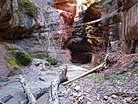
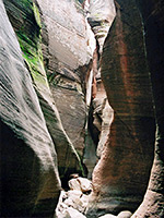
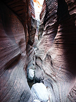
Spectacular deep and dark slot canyon with extravagantly sculptured walls, tinged with green moss in many placesKeyhole Canyon
★★★★★
★★★★★
1.2 miles, 120 feet
Minor drainage on the north side of Clear Creek, containing three narrows sectionsKolob Creek
★★★★★
★★★★★
2.6 miles, 1800 feet
Major tributary of the Virgin River, flowing through a deep, long slot canyonMisery Canyon
★★★★★
★★★★★
9 miles, 1400 feet
Mostly shallow drainage of two branches, forming short slots between longer open sections, ending with a 30 foot dryfall into a deeper and darker canyonNorth Creek, Left Fork
★★★★★
★★★★★
3.4 miles, 1200 feet
Popular, oft-visited narrow canyon that includes The Subway, where the creek flows through a long, tubular passage with only a narrow opening aboveNorth Creek, Right Fork
★★★★★
★★★★★
5.8 miles, 900 feet
Lengthy drainage that narrows gradually to a deep, enclosed section with many waterfalls, pools and bouldersOrderville Canyon
★★★★★
★★★★★
8.4 miles, 1700 feet
Spectacular, long and very deep gorge joining the Zion NarrowsParunuweap Canyon
★★★★★
★★★★★
3.9 miles, 1400 feet
Typically deep and narrow Zion canyon, formed by the East Fork of the Virgin River, very similar to the famous Zion Narrows but harder to reachPine Creek
★★★★★
★★★★★
0.4 miles, 40 feet
Most popular of Zion's technical slot canyons, deepening rapidly via chokestones and dryfalls that require rappels of up to 60 feetPole Canyon
★★★★★
★★★★★
2 miles, 800 feet
Partly wooded ravine on the Kolob Plateau, formed by the seasonal Pine Spring Wash; narrowing gradually to a half-mile section of confined passageways through dark, reddish-gray sandstoneShelf Canyon
★★★★★
★★★★★
0.4 miles, 140 feet
Short, straight drainage, a tributary of Pine Creek, with vertical cliffs and a sandy floor, narrowing to a slot then ending abruptly below a jagged wallZion Narrows
★★★★★
★★★★★
15.6 miles, 1200 feet
The most famous narrow canyon hike in the Southwest, following the North Fork of the Virgin River past near vertical walls up to 2,000 feet highZion Wildflowers
Photographs and descriptions of flowering plants found in the national park
Hotels near Zion National Park
Main (south) entrance - Springdale (1 mile), Hurricane (24 miles), Washington (35 miles), St George (42 miles).
East entrance - Mount Carmel Junction (13 miles), Kanab (30 miles).
Kolob Canyons entrance - Cedar City (21 miles).
All Contents © Copyright The American Southwest | Comments and Questions | Contribute | Affiliate Marketing Disclosure | Site Map

