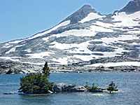
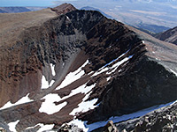
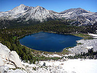
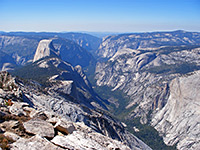
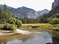
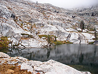
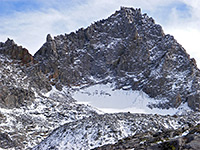
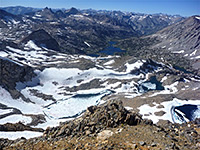
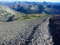
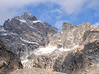
California's most spectacular and well-known mountain range is the Sierra Nevada, stretching 400 miles from the southern foothills at the edge of the Mojave Desert to its northern end at the Susan River near Quincy, where it merges with the more isolated peaks of the Cascade Range. The Sierra Nevada was formed by faulting, which causes the east face, much of which borders Owens Valley, to rise much more steeply than the west. One consequence of this tilting is that very few roads can approach from the east, and in the steepest section of the range (towards the south), there is only one trans-Sierra pass for 200 miles, and that (the Tioga Road to Yosemite National Park) is closed by snow for over half the year. Many more roads approach the less steep, densely wooded western slopes, leading to the various parks and national forests, which together cover the entire range. From north to south these are:
Elsewhere in California are many other mountain ranges, large and small. The deserts of the southeast have basin and range topography, with wide plains separating thin, isolated ridges. To the west rises a more continuous series of hills that border the Los Angeles and San Diego metropolises, principally the Coyote, Santa Rosa, San Jacinto, San Bernardino, San Gabriel and Santa Monica ranges. This latter merges with the southern Coast Range that runs north all the way to San Francisco; a line of steep sided, wooded hills crossed by few roads and without any sites of particular interest.
The Coast Range reappears north of San Francisco, forming a similarly steep and undulating barrier between the Sonoma, Mendocino and Redwood coasts and the Central Valley, which extends northwards as far as Redding. East of here, California contains the southernmost part of the Cascade Range, the second great mountain chain of the far West. This is formed by a series of dormant and active volcanoes, and it continues north all the way to British Columbia in Canada. Major peaks and hilly areas are (from south to north) Lassen Peak and associated summits (within Lassen Volcanic National Park) and Mount Shasta in California, then Crater Lake, Newberry Volcano, Three Sisters and other peaks in Oregon. Other mountainous sites in north California include Castle Crags State Park.
Nearly all of Nevada is part of the Great Basin Desert, and it contains dozens of narrow mountain ranges running north-south, separated by wide valleys. The highest summit is 13,063 foot Wheeler Peak, contained within Great Basin National Park, the only NPS preserve entirely within the state. Some of the other ranges are part of the Humboldt-Toiyabe National Forest, and most are public land but none are very much visited, except for Mount Charleston near Las Vegas.
There are two major mountainous regions in Utah - the Uinta Range in the northeast (part of the Ashley, Wasatch-Cache and Uinta national forests), and the Wasatch and Pahvant ranges which run north-south most of the way through the state, separating the basin and range country in the west from the high elevation plateaus of the east. Interstate 10 runs all along the base of the Wasatch Range, and a good selection of roads climb into the hills; popular sites include the Mount Timpanogos region, Nebo Loop and Wasatch Mountain State Park. South and east Utah is home to many of the West's most famous national parks and most is part of the Colorado Plateau, which although largely formed of flat sedimentary rocks does have a few isolated laccoliths (igneous intrusions) such as the Abajo, La Sal and Henry mountains.
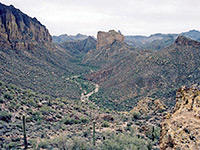
The Colorado Plateau extends to northeast Arizona, where other volcanic summits include the San Francisco Peaks near Flagstaff, and Navajo Mountain overlooking Lake Powell. The one major mountain range in the state is the White Mountains in the east, crossed US 191 (Coronado Trail), but otherwise rather inaccessible. The Colorado Plateau gives way in the west and south to lower elevation terrain, split by valleys, which come to predominate in the desert regions towards the Mexican border and the Colorado river - typical basin and range landscape, where mountains sometimes have high summits like Mount Lemmon near Tucson (9,157 feet), but in other places are much smaller, rising just a few hundred feet above the surroundings. Some notable locations are Beaver Dam Mountains, Cochise Stronghold, Picacho Peak, South Mountains (southwest of Phoenix), the Superstition Mountains (east of Phoenix) and White Tank Mountain Regional Park (west of Phoenix).
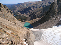
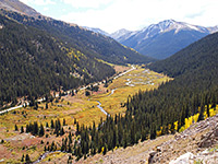
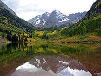
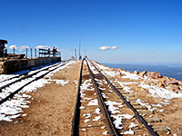
About half of Colorado is mountainous; the state contains 450 miles of the Rocky Mountains, which like the Sierra Nevada have a steep east face, contrasting greatly to the dead flat prairie further east, and a more gently sloping west side, as the land merges with the Colorado Plateau and other sandstone ranges. Rocky Mountain National Park showcases one of the most scenic areas and has a good number of trails, to lakes, glacial canyons, and summits including 14,259 foot Longs Peak, one of 53 'fourteeners' in the state. It also contains the highest paved through highway anywhere in America, Trail Ridge Road, which climbs to 12,183 feet. But there are many more equally spectacular locations in the Colorado Rockies, such as Independence Pass and the Collegiate Peaks, Aspen and the Maroon Bells Wilderness, Mount Evans, San Juan Mountains, Pikes Peak and Arapaho National Recreation Area.
The Rockies continue south into New Mexico, as far as Santa Fe and Albuquerque, though some definitions encompass other, more isolated mountains further south including the San Andres and Sacramento ranges, and even the Franklin Mountains of far west Texas. One of the most accessible areas is the Jemez Mountains, west of Santa Fe and Los Alamos. The other main high elevation area in New Mexico is the Mogollon and San Francisco mountains in the west, merging with the White Mountains over the border in Arizona. This large, mostly roadless region does include one national monument (Gila Cliff Dwellings), plus scattered hot springs, river canyons and a great variety of wildlife.
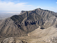
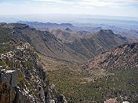
The highest peak in Texas (8,749 feet) is found in the Guadalupe Mountains of the far west - a great limestone escarpment that also contains Carlsbad Caverns in south New Mexico. The mountains are part of a national park, lightly visited owing to its remoteness, and primarily a place for hikers, as there is no single attraction, just large areas of hilly wilderness, with great views over the surrounding Chihuahuan Desert plains. West Texas also has many smaller ranges such as the Chisos Mountains in Big Bend National Park, Davis Mountains and Franklin Mountains.
The Rocky Mountains cover the western half of Wyoming, with the two most visited locations being in the far north - the Yellowstone and Grand Teton national parks, the latter protecting perhaps the most spectacular range in North America, with permanently snowcapped peaks rising very steeply over one mile above the flat-floored valley of the Snake River (Jackson Hole). But the highest peak in the state (and 19 of the top 20) is found in the more remote, lesser known and harder-to-access Wind River Range.
View all photographs of mountains.
- Tahoe National Forest and Lake Tahoe
- Eldorado National Forest
- Stanislaus National Forest
- Yosemite National Park
- Sierra National Forest
- Kings Canyon National Park
- Sequoia National Park
- Giant Sequoia National Monument
- Sequoia National Forest
Elsewhere in California are many other mountain ranges, large and small. The deserts of the southeast have basin and range topography, with wide plains separating thin, isolated ridges. To the west rises a more continuous series of hills that border the Los Angeles and San Diego metropolises, principally the Coyote, Santa Rosa, San Jacinto, San Bernardino, San Gabriel and Santa Monica ranges. This latter merges with the southern Coast Range that runs north all the way to San Francisco; a line of steep sided, wooded hills crossed by few roads and without any sites of particular interest.
Nearly all of Nevada is part of the Great Basin Desert, and it contains dozens of narrow mountain ranges running north-south, separated by wide valleys. The highest summit is 13,063 foot Wheeler Peak, contained within Great Basin National Park, the only NPS preserve entirely within the state. Some of the other ranges are part of the Humboldt-Toiyabe National Forest, and most are public land but none are very much visited, except for Mount Charleston near Las Vegas.
There are two major mountainous regions in Utah - the Uinta Range in the northeast (part of the Ashley, Wasatch-Cache and Uinta national forests), and the Wasatch and Pahvant ranges which run north-south most of the way through the state, separating the basin and range country in the west from the high elevation plateaus of the east. Interstate 10 runs all along the base of the Wasatch Range, and a good selection of roads climb into the hills; popular sites include the Mount Timpanogos region, Nebo Loop and Wasatch Mountain State Park. South and east Utah is home to many of the West's most famous national parks and most is part of the Colorado Plateau, which although largely formed of flat sedimentary rocks does have a few isolated laccoliths (igneous intrusions) such as the Abajo, La Sal and Henry mountains.
The Colorado Plateau extends to northeast Arizona, where other volcanic summits include the San Francisco Peaks near Flagstaff, and Navajo Mountain overlooking Lake Powell. The one major mountain range in the state is the White Mountains in the east, crossed US 191 (Coronado Trail), but otherwise rather inaccessible. The Colorado Plateau gives way in the west and south to lower elevation terrain, split by valleys, which come to predominate in the desert regions towards the Mexican border and the Colorado river - typical basin and range landscape, where mountains sometimes have high summits like Mount Lemmon near Tucson (9,157 feet), but in other places are much smaller, rising just a few hundred feet above the surroundings. Some notable locations are Beaver Dam Mountains, Cochise Stronghold, Picacho Peak, South Mountains (southwest of Phoenix), the Superstition Mountains (east of Phoenix) and White Tank Mountain Regional Park (west of Phoenix).
About half of Colorado is mountainous; the state contains 450 miles of the Rocky Mountains, which like the Sierra Nevada have a steep east face, contrasting greatly to the dead flat prairie further east, and a more gently sloping west side, as the land merges with the Colorado Plateau and other sandstone ranges. Rocky Mountain National Park showcases one of the most scenic areas and has a good number of trails, to lakes, glacial canyons, and summits including 14,259 foot Longs Peak, one of 53 'fourteeners' in the state. It also contains the highest paved through highway anywhere in America, Trail Ridge Road, which climbs to 12,183 feet. But there are many more equally spectacular locations in the Colorado Rockies, such as Independence Pass and the Collegiate Peaks, Aspen and the Maroon Bells Wilderness, Mount Evans, San Juan Mountains, Pikes Peak and Arapaho National Recreation Area.
The Rockies continue south into New Mexico, as far as Santa Fe and Albuquerque, though some definitions encompass other, more isolated mountains further south including the San Andres and Sacramento ranges, and even the Franklin Mountains of far west Texas. One of the most accessible areas is the Jemez Mountains, west of Santa Fe and Los Alamos. The other main high elevation area in New Mexico is the Mogollon and San Francisco mountains in the west, merging with the White Mountains over the border in Arizona. This large, mostly roadless region does include one national monument (Gila Cliff Dwellings), plus scattered hot springs, river canyons and a great variety of wildlife.
The highest peak in Texas (8,749 feet) is found in the Guadalupe Mountains of the far west - a great limestone escarpment that also contains Carlsbad Caverns in south New Mexico. The mountains are part of a national park, lightly visited owing to its remoteness, and primarily a place for hikers, as there is no single attraction, just large areas of hilly wilderness, with great views over the surrounding Chihuahuan Desert plains. West Texas also has many smaller ranges such as the Chisos Mountains in Big Bend National Park, Davis Mountains and Franklin Mountains.
The Rocky Mountains cover the western half of Wyoming, with the two most visited locations being in the far north - the Yellowstone and Grand Teton national parks, the latter protecting perhaps the most spectacular range in North America, with permanently snowcapped peaks rising very steeply over one mile above the flat-floored valley of the Snake River (Jackson Hole). But the highest peak in the state (and 19 of the top 20) is found in the more remote, lesser known and harder-to-access Wind River Range.
View all photographs of mountains.
All Contents © Copyright The American Southwest | Comments and Questions | Contribute | Affiliate Marketing Disclosure | Site Map
