Arizona - Site Map
Index of all the Arizona Pages on americansouthwest.net
- Agua Fria National Monument; Map
- Alamo Lake State Park
- Apache Trail
- Aravaipa Canyon; Map
- Arizona-Sonora Desert Museum
- Bartlett Reservoir
- Beaver Dam Mountains
- Bill Williams River
- Black Canyon
- Blue Canyon
- Boyce Thompson Arboretum
- Cabeza Prieta National Wildlife Refuge
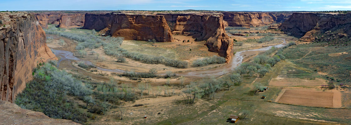
- Canyon De Chelly National Monument; Map
- Casa Grande Ruins National Monument
- Catalina State Park
- Chiricahua National Monument; Map
- Coal Mine Canyon
- Cochise Stronghold
- Copper Creek
- Coronado National Memorial
- Coronado Trail
- Dead Horse Ranch State Park
- Estrella Mountain Regional Park
- Fort Bowie National Historic Site
- Grand Canyon National Park; Map
- Granite Mountain
- Ha Ho No Geh Canyon
- Havasupai Indian Reservation; Map
- Hualapai Indian Reservation
- Homolovi State Park
- Hubbell Trading Post National Historic Site
- Ironwood Forest National Monument
- Jewel of the Creek Preserve
- Kaiser Spring Canyon
- Kofa National Wildlife Refuge; Map
- Lake Havasu
- Lake Pleasant
- Lake Mead National Recreation Area; Map
- Lees Ferry; Map
- Little Colorado River; Map
- Lost Dutchman State Park
- Madera Canyon
- Meteor Crater
- Mission San Xavier del Bac
- Montezuma Castle National Monument
- Mount Lemmon
- Navajo National Monument
- Organ Pipe Cactus National Monument; Map
- Painted Rock Petroglyph Site
- Patagonia Lake State Park
- Petrified Forest National Park; Map
- Pearce Ferry
- Picacho Peak State Park
- Pipe Spring National Monument
- Ramsey Canyon Preserve
- Red Mountain
- Red Rock State Park
- Route 66
- Sabino Canyon Recreation Area
- Saguaro National Park
- San Carlos Lake
- San Francisco Peaks
- San Tan Mountain Regional Park
- Sedona; Map
- General information
- Hiking
- AB Young Trail
- Airport Loop
- Bear Mountain
- Birthing Cave
- Boynton Canyon
- Brins Mesa/Soldier Pass
- Broken Arrow Trail
- Casner Canyon/Allens Bend
- Cathedral Rock
- Cookstove and Harding Spring Trails
- Courthouse Butte
- Crescent Moon Ranch and Red Rock Crossing
- Devils Bridge Trail
- Doe Mountain
- Fay Canyon
- Long Canyon
- Margs Draw
- Munds Canyon
- Pumphouse Wash
- Secret Canyon
- Schuerman Mountain
- Thomas Point Trail
- Upper Woods Canyon
- Vultee Arch/Sterling Pass
- West Fork of Oak Creek
- Wilson Canyon Trail
- Wilson Mountain
- Woods Canyon
- Weather and Climate
- Wildflowers
- Slide Rock State Park
- Sonoran Desert National Monument; Map
- South Mountain Park
- Sunset Crater Volcano National Monument
- Superstition Mountains
- Sycamore Canyon
- Theodore Roosevelt Lake
- Tombstone
- Tonto Creek
- Tonto National Forest
- Tonto National Monument
- Tonto Natural Bridge State Park
- Tortolita Mountains
- Tucson Mountain Park
- Tumacacori National Historical Park
- Tuzigoot National Monument
- Usery Mountain Regional Park
- Vermilion Cliffs National Monument; Map
- Walnut Canyon National Monument
- Watson Lake
- West Clear Creek
- White Tank Mountain Regional Park
- Wupatki National Monument; Map
- Yuma Crossing National Heritage Area
All Contents © Copyright The American Southwest | Comments and Questions | Contribute | Affiliate Marketing Disclosure | Site Map