Deertrap Mountain Trail, Zion National Park
Utah > Zion National Park > Hiking > Deertrap Mountain Trail
Deertrap Mountain Trail
Little traveled hike across a sparsely wooded plateau, round the heads of several ravines, to a isolated, elongated mountain with amazing views in all directions, of Zion Canyon and Clear Creek
Length: 5.5 miles
Elevation change: 400 feet
Difficulty: Easy to moderate - no steep sections, just relatively long
Type: One way; links with the East Rim Trail
Usage: Low
Season: Late spring, summer, fall - covered by snow in the winter
Trailhead: Stave Spring, near Zion Ponderosa Resort. Also accessible from the East Rim Trail
Rating (1-5): ★★★★★
Although it ends at a series of spectacular viewpoints, high above the lower ends of Zion Canyon and the canyon of Clear Creek, the Deertrap Mountain Trail is one of the least-used paths in Zion National Park, for several reasons.
The trailhead is remote, at the end of a rough stretch of road at the edge of the private land of Zion Ponderosa Resort, who provide a shuttle service from a public parking place at the center of the estate; this is helpful, but adds to the logistics of the hike.
Also, the majority of the walk is across rather featureless terrain of shallow valleys and a broad plateau, still bearing scars from a wildfire; only for the final mile does the scenery become spectacular. And, the walk is relatively long - 5.5 miles, from the Stave Spring trailhead by the resort.
The mountain itself is an elongated, T-shaped promontory; the trail enters at the center, turning north along one of the two spurs to an overlook 2,400 feet above Zion Lodge. In the other direction there is no path but it is still easy to walk over the flat land for 0.7 miles to an equally good viewpoint, of vast lands to the south.
The name of the mountain, adopted in 1934, is a reference to the Paiute Indians who used to chase deer across the narrow neck of the plateau, thus trapping them on the promontory.
Deertrap Mountain may also be reached from the East Rim trailhead, a distance of 10 miles - an all day hike, too long for most people. In the past the mountain could also be accessed from Weeping Rock, ascending via the other end of the East Rim Trail, but this has been closed for several years due to a rockfall, and the distance is similarly long. So the approach from Stave Spring at Zion Ponderosa is the main option.
Deertrap Mountain Trail topographic map, map of Zion National Park.
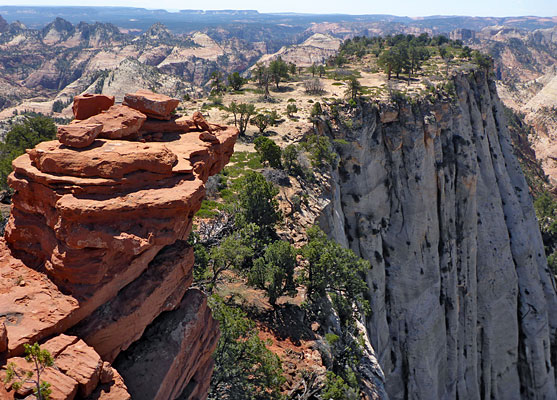
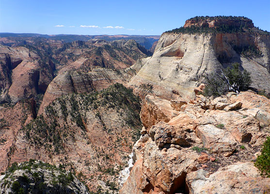
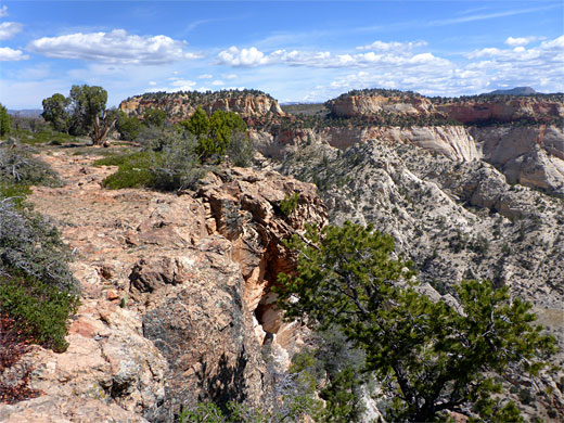
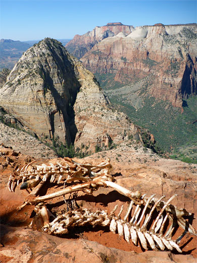
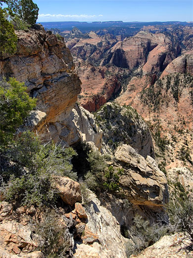
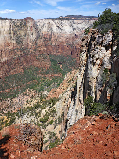
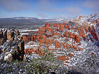
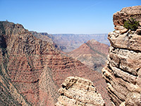
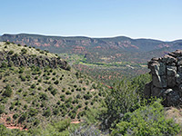
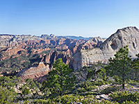
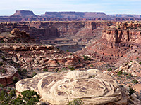
16 views along the Deertrap Mountain Trail.
The Stave Spring trailhead is a few feet within the national park boundary, and the track just before is quite rough. The road is in good condition from here to the resort but there is no public parking available along the way, hence most people choose to park at the resort and take the shuttle, which needs to be reserved in advance. The shuttle also serves the East Mesa Trail, for hikes to Observation Point, a much more popular destination than Deertrap Mountain. Cell phone service is patchy hereabouts so hikers need to estimate a return time and hence arrange for the pick up; the hike typically takes between 4 and 6 hours, round trip. The shuttle departs from the barn at the center of the resort, driving 2.5 miles through the extensive network of dirt tracks of the sprawling complex, passing various junctions, houses and other buildings.
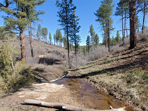
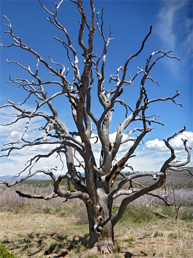
The one path from the trailhead, officially the Stave Spring Trail, enters open woodland of tall ponderosa pines, descending a little, into sagebrush, to a junction with the East Rim Trail. Turning left, this follows a drainage, the streamway from Stave Spring, for a quarter of a mile to a second junction, for Deertrap Mountain and Cable Mountain. This path ascends a shallow, partly wooded valley, past a seasonal seep and small waterfall, rising above the trees and to a long, steady ascent of a brushy, dusty hillside, covered with low, burnt stumps from the wildfire. The third and final junction, 2.3 miles from the trailhead, is the Deertrap Mountain-Cable Mountain split; the former is the left branch, now nearly flat, crossing the same nondescript terrain.
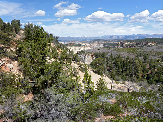
The Deertrap Mountain Trail rounds the end of a low ridge, a deep ravine (Hidden Canyon), now visible to the north, then moves across to the brink of south-facing cliffs, giving the first really good views. The trees return, briefly, here undamaged by the fires. The next section zigzags down a slope, crosses a grassy basin, rises again, passes over a second wooded knoll, and moves down once more, over a little flat, - the neck of the promontory - and across to the far side, to the rim of the sheer cliffs above Zion Canyon, where a notice warns visitors to be very careful at the edge. The path then follows the top of the cliffs northwards for half a mile to the final viewpoint, opposite Zion Lodge, looking up Zion Canyon. In the other direction, a slightly longer walk rises a little to the actual highpoint (6,837 feet) then descends to a narrow, little-vegetated plateau, the south end of which has equally fine views, of the great monoliths of East Temple, Twin Brothers and Mountain of the Sun, and across a vast expanse of peaks, ridges and ravines, around Clear Creek and Parunuweap Canyon.
The trailhead is remote, at the end of a rough stretch of road at the edge of the private land of Zion Ponderosa Resort, who provide a shuttle service from a public parking place at the center of the estate; this is helpful, but adds to the logistics of the hike.
Also, the majority of the walk is across rather featureless terrain of shallow valleys and a broad plateau, still bearing scars from a wildfire; only for the final mile does the scenery become spectacular. And, the walk is relatively long - 5.5 miles, from the Stave Spring trailhead by the resort.
The mountain itself is an elongated, T-shaped promontory; the trail enters at the center, turning north along one of the two spurs to an overlook 2,400 feet above Zion Lodge. In the other direction there is no path but it is still easy to walk over the flat land for 0.7 miles to an equally good viewpoint, of vast lands to the south.
The name of the mountain, adopted in 1934, is a reference to the Paiute Indians who used to chase deer across the narrow neck of the plateau, thus trapping them on the promontory.
Deertrap Mountain may also be reached from the East Rim trailhead, a distance of 10 miles - an all day hike, too long for most people. In the past the mountain could also be accessed from Weeping Rock, ascending via the other end of the East Rim Trail, but this has been closed for several years due to a rockfall, and the distance is similarly long. So the approach from Stave Spring at Zion Ponderosa is the main option.
Maps
Deertrap Mountain Trail topographic map, map of Zion National Park.
Photographs
16 views along the Deertrap Mountain Trail.
Stave Spring Trailhead
The Stave Spring trailhead is a few feet within the national park boundary, and the track just before is quite rough. The road is in good condition from here to the resort but there is no public parking available along the way, hence most people choose to park at the resort and take the shuttle, which needs to be reserved in advance. The shuttle also serves the East Mesa Trail, for hikes to Observation Point, a much more popular destination than Deertrap Mountain. Cell phone service is patchy hereabouts so hikers need to estimate a return time and hence arrange for the pick up; the hike typically takes between 4 and 6 hours, round trip. The shuttle departs from the barn at the center of the resort, driving 2.5 miles through the extensive network of dirt tracks of the sprawling complex, passing various junctions, houses and other buildings.
Trail Junctions
The one path from the trailhead, officially the Stave Spring Trail, enters open woodland of tall ponderosa pines, descending a little, into sagebrush, to a junction with the East Rim Trail. Turning left, this follows a drainage, the streamway from Stave Spring, for a quarter of a mile to a second junction, for Deertrap Mountain and Cable Mountain. This path ascends a shallow, partly wooded valley, past a seasonal seep and small waterfall, rising above the trees and to a long, steady ascent of a brushy, dusty hillside, covered with low, burnt stumps from the wildfire. The third and final junction, 2.3 miles from the trailhead, is the Deertrap Mountain-Cable Mountain split; the former is the left branch, now nearly flat, crossing the same nondescript terrain.
Viewpoints
The Deertrap Mountain Trail rounds the end of a low ridge, a deep ravine (Hidden Canyon), now visible to the north, then moves across to the brink of south-facing cliffs, giving the first really good views. The trees return, briefly, here undamaged by the fires. The next section zigzags down a slope, crosses a grassy basin, rises again, passes over a second wooded knoll, and moves down once more, over a little flat, - the neck of the promontory - and across to the far side, to the rim of the sheer cliffs above Zion Canyon, where a notice warns visitors to be very careful at the edge. The path then follows the top of the cliffs northwards for half a mile to the final viewpoint, opposite Zion Lodge, looking up Zion Canyon. In the other direction, a slightly longer walk rises a little to the actual highpoint (6,837 feet) then descends to a narrow, little-vegetated plateau, the south end of which has equally fine views, of the great monoliths of East Temple, Twin Brothers and Mountain of the Sun, and across a vast expanse of peaks, ridges and ravines, around Clear Creek and Parunuweap Canyon.
Deertrap Mountain Trail - Similar Hikes
All Contents © Copyright The American Southwest | Comments and Questions | Contribute | Affiliate Marketing Disclosure | Site Map
