Home
|
Parks
|
Trails
|
Plants
|
Canyons
Maps
|
Landscapes
|
Site Map
|
Whats New?
|
More...
×
General Pages
Home
Parks
Trails
Plants
Slot Canyons
Maps
Landscapes
Itineraries
Site Map
What's New?
More pages...
States
Arizona
California
Colorado
Idaho
Nevada
New Mexico
Oregon
Texas
Utah
Wyoming
MENU
ARIZONA
CALIFORNIA
COLORADO
IDAHO
NEVADA
NEW MEXICO
OREGON
TEXAS
UTAH
WYOMING
WYOMING
MAPS
|
PARKS
|
TRAILS
|
HOTELS
All Wyoming Locations...
NPS
Fossil Butte
Grand Teton
Yellowstone
OTHER PLACES
Boysen State Park
Hot Springs State Park
Independence Rock
Periodic Spring
Sinks Canyon State Park
Wind River Range
Wyoming site map
Photographs of the Southeast, Yellowstone National Park
Wyoming
>
Yellowstone National Park
>
The Southeast
> Photographs
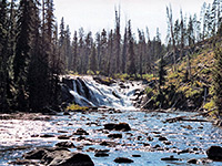
Lewis Falls
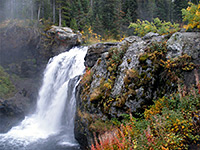
Moose Falls
Campsite in the Targhee National Forest
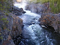
Lewis River Canyon
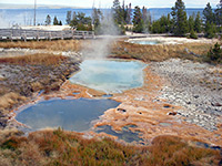
West Thumb Geyser Basin
Abyss Pool
Warm pools
Lakeshore Geyser, beside Yellowstone Lake
Twin Geysers
Shallow pools
Pool in Potts Basin
Black Pool
Edge of Potts Basin
Hot springs in Potts Basin
Potts Basin
Firehole Falls
Cascades of the Firehole
Related Photographs:
All Yellowstone photographs
-
Geysers
-
Hot springs
-
Waterfalls
-
Wyoming canyons
-
Wyoming lakes
Back to Top
All Contents © Copyright The American Southwest
|
Comments and Questions
|
Contribute
|
Affiliate Marketing Disclosure
|
Site Map