Jasper Forest Trail, Petrified Forest National Park
Arizona > Petrified Forest National Park > Hiking > Jasper Forest Trail
Jasper Forest Trail
Primitive route, partly along an old road, though an area of much petrified wood, deep red in color; later following a valley to the base of Eagle Nest Rock, formerly a famous hoodoo
Length: 1.2 miles
Elevation change: 100 feet
Difficulty: Easy
Type: One way, lightly-marked route
Usage: Low
Season: All year
Trailhead: North side of the parking area at the end of Jasper Forest Road
Rating (1-5): ★★★★★
Elevation change: 100 feet
Difficulty: Easy
Type: One way, lightly-marked route
Usage: Low
Season: All year
Trailhead: North side of the parking area at the end of Jasper Forest Road
Rating (1-5): ★★★★★
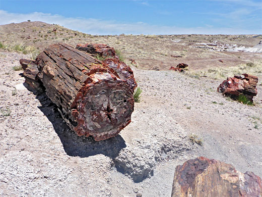
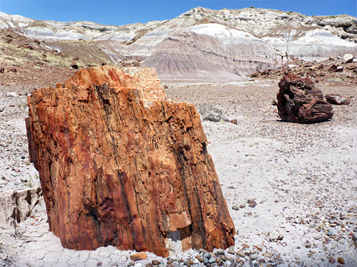
Jasper Forest is a sizeable area of petrified wood on the west side of the road through Petrified Forest National Park, about half way along the main area of the fossils, south of the ATSF railway line, and is so-named because of the prevalence of jasper in the wood - this a reddish form of microcrystalline quartz. The area was originally known as First Forest, since it was the first location of petrified wood seen by early visitors, who traveled here from the north on a long-since closed road, from the Adamana station on the railway.
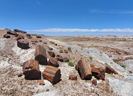
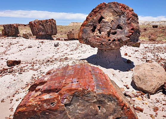
Jasper Forest may be viewed from afar from an overlook along a short side road, and seen close-up via two of the park's primitive, 'off-the-beaten-track' hikes - the 2.1 mile First Forest Trail, and the 1.2 mile Jasper Forest Trail. This latter route follows a small wash into a particularly fine assortment of petrified logs, some perched atop small columns of soft rock, forming hoodoos, then passes over a minor saddle, rounds a promontory and leads up a valley to the base of Eagle Nest Rock, a once-famous formation, a hoodoo 15 feet tall, which fell in January 1941, following a rainstorm.
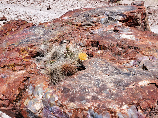
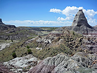
This part of the forest is bordered by a lengthy mesa to the east, formed of green, gray and purple layers from the Sonsela Member of the Chinle Formation, and is pleasantly scenic, especially when combined with the multitude of petrified logs and the good variety of wildflowers.
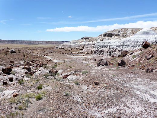
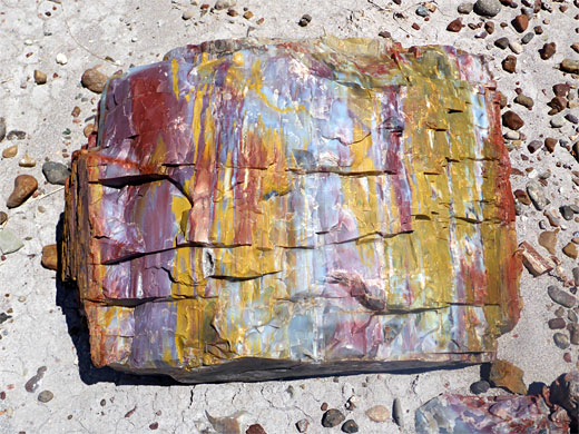
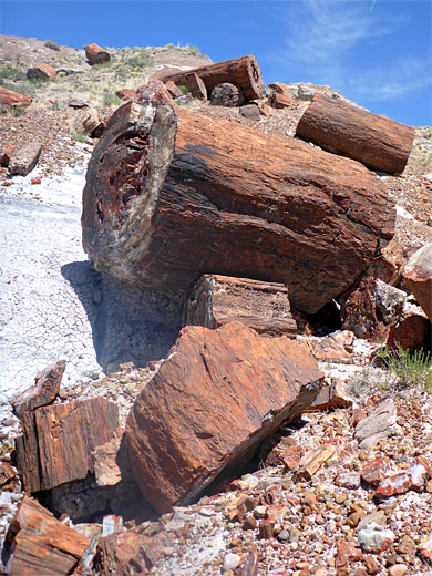
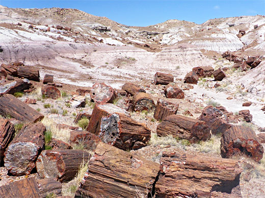
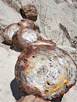
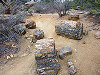
Starting from the north side of the parking place at the end of the side road to the Jasper Forest Overlook (10 miles from the southern park entrance along US 180), the narrow path leads down a little ridge, close to the access road, and into a shallow valley, now following a faint track - the original road to the Petrified Forest, constructed by the CCC in the early 1930s. The route veers right, the course briefly not so obvious, into a basin filled with many petrified logs, of all shapes and sizes, mostly deep red in color. The trail rises slightly, up to a little divide and continues north a way, round a projecting cliff, while still following the old road, the main evidence of which is a series of brick culverts, once taking the track over small washes.
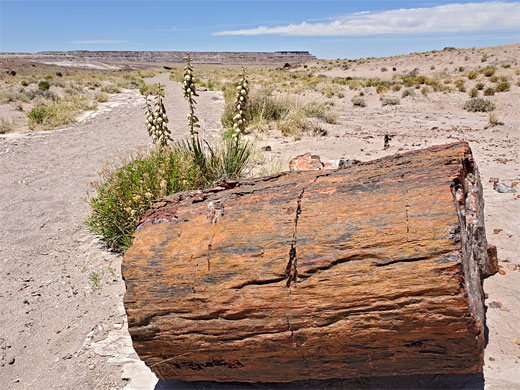
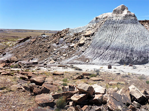
The old road veers to the east, entering a valley, passing an isolated butte and ending with a short loop around the base of Eagle Head Rock. All around are scattered brown boulders - no petrified wood here, plus cliffs, mounds and little gullies. Along the early part of the track, more huge logs can be seen off-trail to the west, some along a dry wash, while beyond stretches a big open plain, grassy and sandy, mostly lacking any of the fossils.

Jasper Forest may be viewed from afar from an overlook along a short side road, and seen close-up via two of the park's primitive, 'off-the-beaten-track' hikes - the 2.1 mile First Forest Trail, and the 1.2 mile Jasper Forest Trail. This latter route follows a small wash into a particularly fine assortment of petrified logs, some perched atop small columns of soft rock, forming hoodoos, then passes over a minor saddle, rounds a promontory and leads up a valley to the base of Eagle Nest Rock, a once-famous formation, a hoodoo 15 feet tall, which fell in January 1941, following a rainstorm.
This part of the forest is bordered by a lengthy mesa to the east, formed of green, gray and purple layers from the Sonsela Member of the Chinle Formation, and is pleasantly scenic, especially when combined with the multitude of petrified logs and the good variety of wildflowers.
Jasper Forest Video
The Route
Starting from the north side of the parking place at the end of the side road to the Jasper Forest Overlook (10 miles from the southern park entrance along US 180), the narrow path leads down a little ridge, close to the access road, and into a shallow valley, now following a faint track - the original road to the Petrified Forest, constructed by the CCC in the early 1930s. The route veers right, the course briefly not so obvious, into a basin filled with many petrified logs, of all shapes and sizes, mostly deep red in color. The trail rises slightly, up to a little divide and continues north a way, round a projecting cliff, while still following the old road, the main evidence of which is a series of brick culverts, once taking the track over small washes.
End of the Trail - Eagle Nest Rock
The old road veers to the east, entering a valley, passing an isolated butte and ending with a short loop around the base of Eagle Head Rock. All around are scattered brown boulders - no petrified wood here, plus cliffs, mounds and little gullies. Along the early part of the track, more huge logs can be seen off-trail to the west, some along a dry wash, while beyond stretches a big open plain, grassy and sandy, mostly lacking any of the fossils.
Topographic Map of the Route

Jasper Forest Trail - Similar Hikes
All Contents © Copyright The American Southwest | Comments and Questions | Contribute | Affiliate Marketing Disclosure | Site Map
